
 Português
 French
 Español
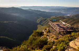
Costa da Castanheira Viewpoint (Arouca)
Photo: Luis Pereira
Table of Contents
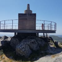
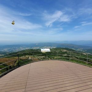
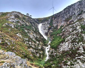
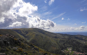
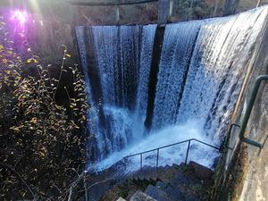
The Panorama of Costa da Castanheira, at 1046 meters above sea level, is a very relevant geosite of Arouca Geopark. It is an extraordinary place from where you can admire the landscape, morphology and geology of the Freita Mountains. This geosite is located near the village of Castanheira and is where the Arouca Meteorological Radar, service of the Portuguese Institute of Sea and Atmosphere (IPMA), is located. In this structure, you can climb up to the tenth floor, the panoramic floor, and admire the magnificent landscapes that the Arouca Geopark has to offer. On clear days, from this tower, it is also possible to observe a large part of the national territory, such as the Arada, Caramulo, Estrela and Montemuro mountains, the Vouga valley, the Atlantic Ocean, the plateau of the Serra da Freita, the Mizarela gorge, considered the largest waterfall in continental Portugal. Photography lovers can capture the best images of an unmatched sunset at this place.
Properties
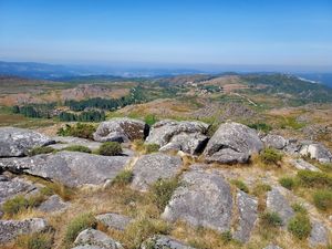
- Panoramic view Provides a panoramic view. It is usually located in a high place, from where you can enjoy a horizon with beautiful views.
- Village view Overlooking a rural area, a place where time passes slowly, calmly, and serenely.
- Countryside view Overlooking the countryside, thus having a view of a natural area where nature abounds.
- Mountain view Overlooking the mountain, thus having an excellent panoramic view, facing this great geography of nature.
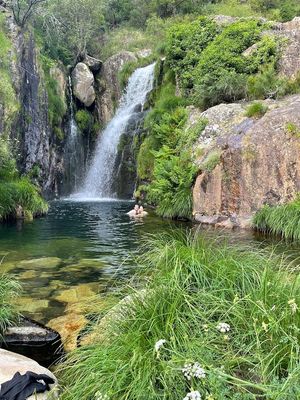
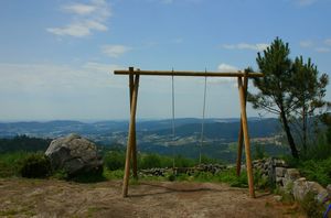
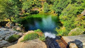
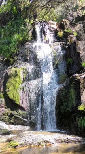
- Close to nature Located in a natural environment, surrounded by trees, mountains, rivers, or other elements of nature, providing a relaxing and refreshing experience.
Location
Address: Pico do Gralheiro, Castanheira, Albergaria da Serra, 4540 Arouca, Portugal
Members who visited this attraction

Closest Attractions
The distance is the shortest or by air.
Map View
Showing 21 attractions on the map
distance: 1.21 kilometers
distance: 2.16 kilometers
distance: 2.36 kilometers
distance: 2.54 kilometers

distance: 2.55 kilometers

distance: 2.8 kilometers

distance: 3.35 kilometers
distance: 3.36 kilometers
distance: 3.4 kilometers
distance: 4.24 kilometers

distance: 4.24 kilometers

distance: 4.96 kilometers
distance: 5.04 kilometers
distance: 5.4 kilometers
distance: 5.8 kilometers

distance: 6.28 kilometers
distance: 6.29 kilometers
distance: 6.5 kilometers
distance: 6.74 kilometers
distance: 7.3 kilometers
