Português
 French
 Español
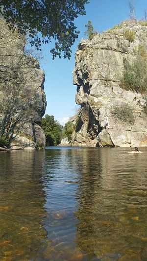
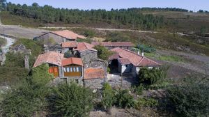
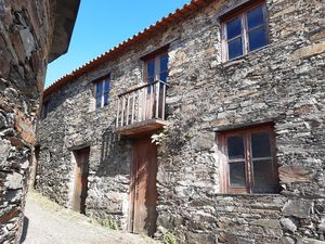
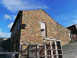
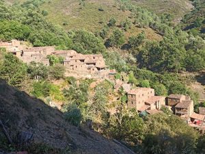
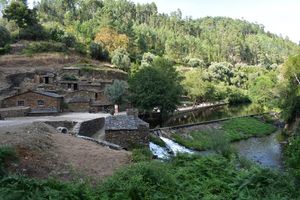
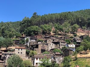
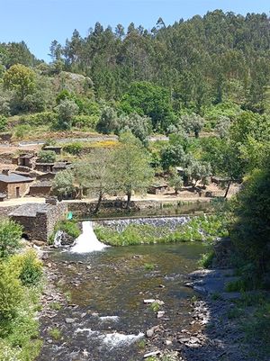
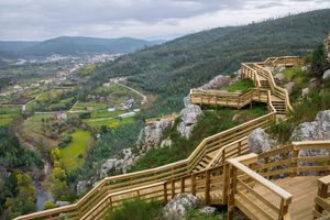
Xisto Pena Village (Góis)
Photo: Luismundo Correia
Table of Contents
Located on the left bank of the Ribeira da Pena, on a quartzitic spur, the village is surrounded by the Góis "Penedos", which stands out from the 'Penedo Abelha' and which can be visited through various paths. The locality is inserted in the Serra da Lousã Community Important Site, from the Natura 2000 Network, which presents a very peculiar fauna and flora due to its irregular topographic characteristics. It is one of the four villages that are part of the PR1 GOI (Xisto Path of the Góis Villages) land route.
Properties
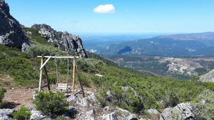
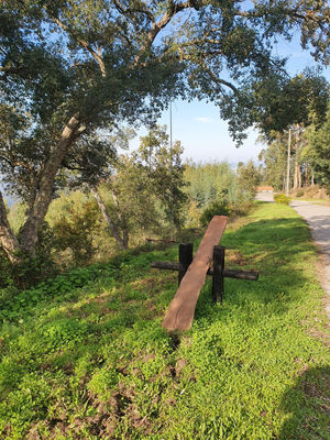
- Part of a pedestrian route Part of a pedestrian route, a pre-defined hiking trailthat passes through several points of interest.
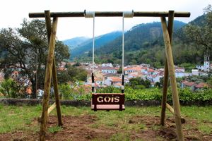
- Near the park Located near or in a park, thus providing a close connection with nature, and a place for walking and well-being.
- Near the grove Located in wooded areas, surrounded by trees and vegetation.
- Near other attractions Close proximity to other tourist attractions, such as museums, parks, or beaches, making it a convenient base for exploring the region.
- Free access Offers free access to a specific service or area, without the need for payment of fees.
- Open 24 hours a day Open 24 hours a day, can be visited at any time of the day or night.
Location
Address: Freguesia de Góis, Município de Góis
Closest Attractions
The distance is the shortest or by air.
Map View
Showing 21 attractions on the map
distance: 1.22 kilometers
distance: 1.88 kilometers
distance: 1.88 kilometers
distance: 2.31 kilometers
distance: 4.63 kilometers
distance: 4.81 kilometers

distance: 4.83 kilometers
distance: 5.17 kilometers
distance: 5.2 kilometers
distance: 5.26 kilometers

distance: 5.4 kilometers
distance: 6.05 kilometers
distance: 6.2 kilometers
distance: 6.25 kilometers
distance: 6.67 kilometers
distance: 6.77 kilometers
distance: 7.33 kilometers
distance: 7.79 kilometers
distance: 7.85 kilometers

distance: 8.01 kilometers