
 Português
 French
 Español
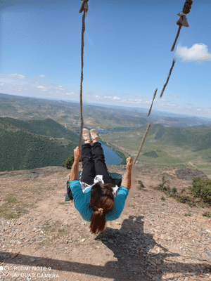
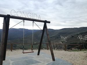
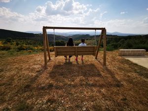
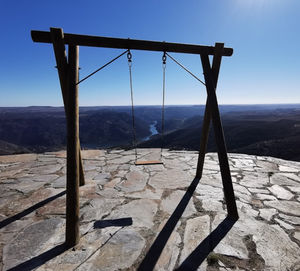
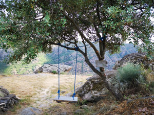
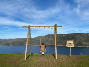
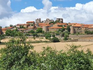
Alpajares Swing (Freixo de Espada à Cinta)
Photo: Ricardo Duarte
Table of Contents
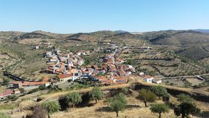
The Alpajares Pathway, also referred to as the Moors Pathway or the Devil’s Pathway, is located in the parish of Poiares, in the municipality of Freixo de Espada à Cinta, in the district of Bragança, in Portugal.
It is a section of an ancient Roman road.
It has been classified as a Property of Public Interest since 1977.
Properties
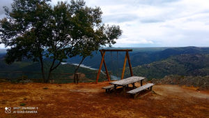
- On a trail You need to hike a trail to reach it. Usually, the car will not have access. It can be interesting for those who like to hike.
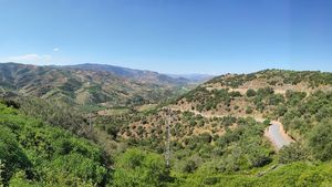
- Panoramic view Provides a panoramic view. It is usually located in a high place, from where you can enjoy a horizon with beautiful views.
Location
Address: Trilho Calçada de Alpajares (no início, do lado de Poiares), Poiares, Freixo de Espada à Cinta
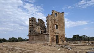
Closest Attractions
The distance is the shortest or by air.
Map View
Showing 21 attractions on the map
distance: 1.77 kilometers
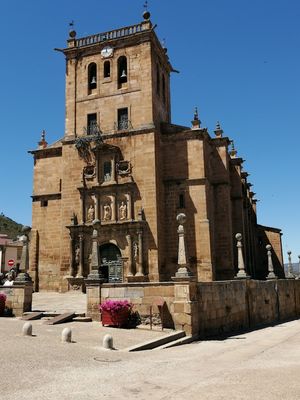
distance: 6.9 kilometers
distance: 8.8 kilometers
distance: 9.05 kilometers

distance: 10.21 kilometers
distance: 10.3 kilometers
distance: 11.35 kilometers

distance: 12.31 kilometers
distance: 13.86 kilometers
distance: 14.56 kilometers
distance: 15.11 kilometers

distance: 18.23 kilometers
distance: 18.63 kilometers
distance: 19.87 kilometers

distance: 20 kilometers
distance: 20.72 kilometers
distance: 20.86 kilometers
distance: 21.05 kilometers
distance: 21.42 kilometers

distance: 22.02 kilometers

De cortar a respiração